
Delaware State Forests now on Avenza Maps
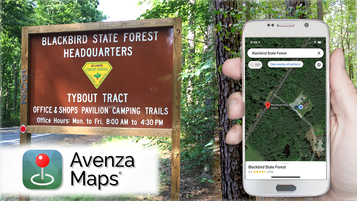
DOVER, Del. (April 16, 2021) — Visitors to Delaware state forests can now use a mobile phone to locate trails, hunting stands, or parking areas using the Avenza Maps® mobile app (available for iPhone or Android devices from the App Store or Google Play.) All state forest maps are free to download. The app uses the phone’s built-in GPS to locate it on the map, even when the device is out of range of a network or Internet connection. Users can select a particular map of interest, download it, and store it on their phone. A blue dot follows users wherever they go so they always know where they are on the map. Visitors can zoom in and out, navigate from place to place, mark points of interest (such as where a car is parked or where a hunting stand is located) and easily attach photos exactly where they were taken.
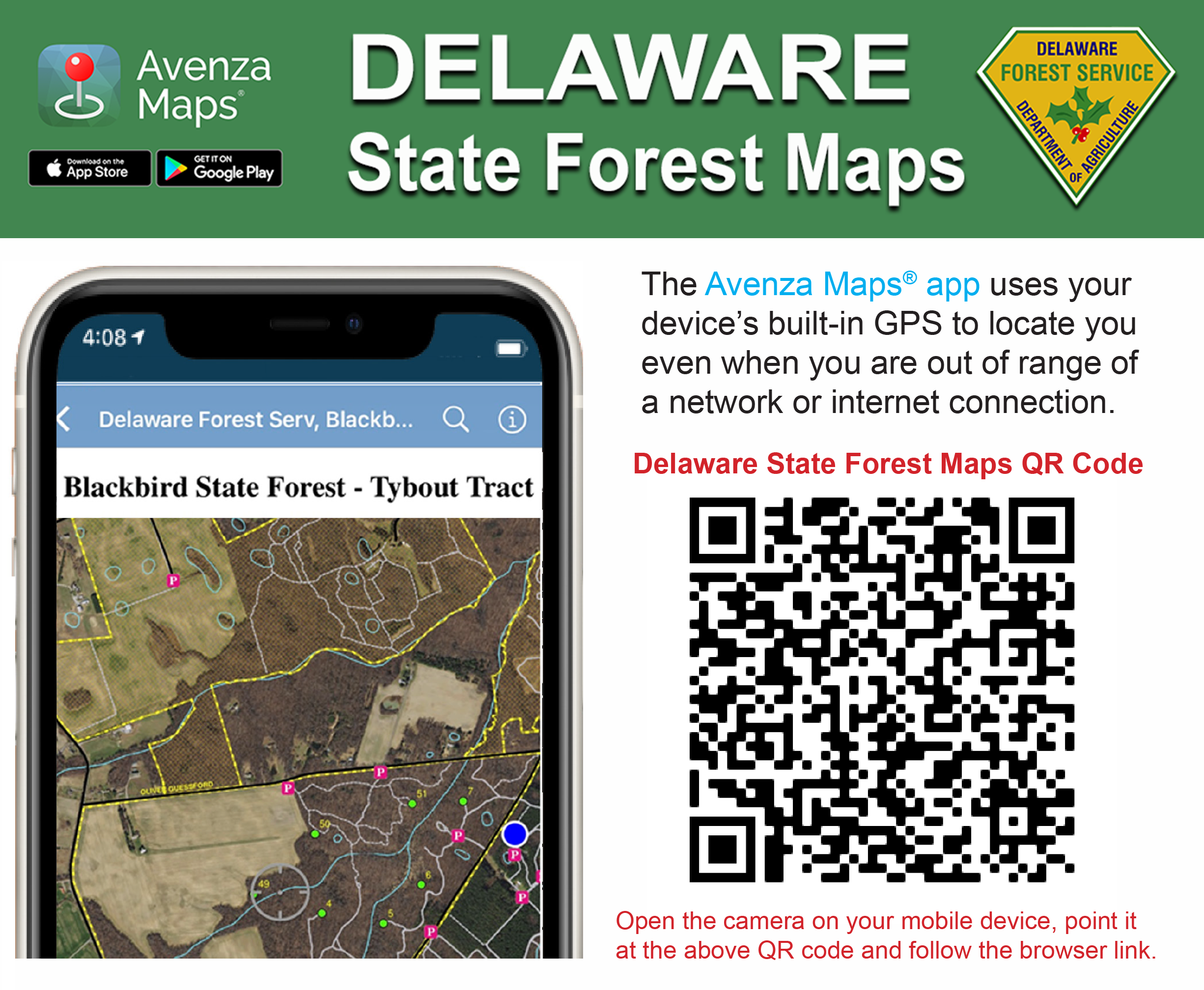
Phone users can use their cell phone camera to capture a unique QR code (below) and use their mobile browser to access a link to all of the Delaware Forest Service maps.
Read the Avenza Maps® fact sheet![]() for more information about the features of this mobile app.
for more information about the features of this mobile app.
State forest offices also offer printed maps at the main office. Standard PDF maps for all state forest tracts (which can be printed) are also available at de.gov/forestmaps.
Legal Disclaimer:
EIN Presswire provides this news content "as is" without warranty of any kind. We do not accept any responsibility or liability for the accuracy, content, images, videos, licenses, completeness, legality, or reliability of the information contained in this article. If you have any complaints or copyright issues related to this article, kindly contact the author above.
